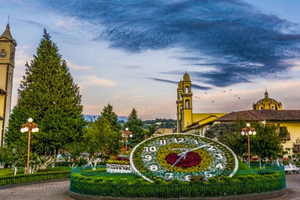
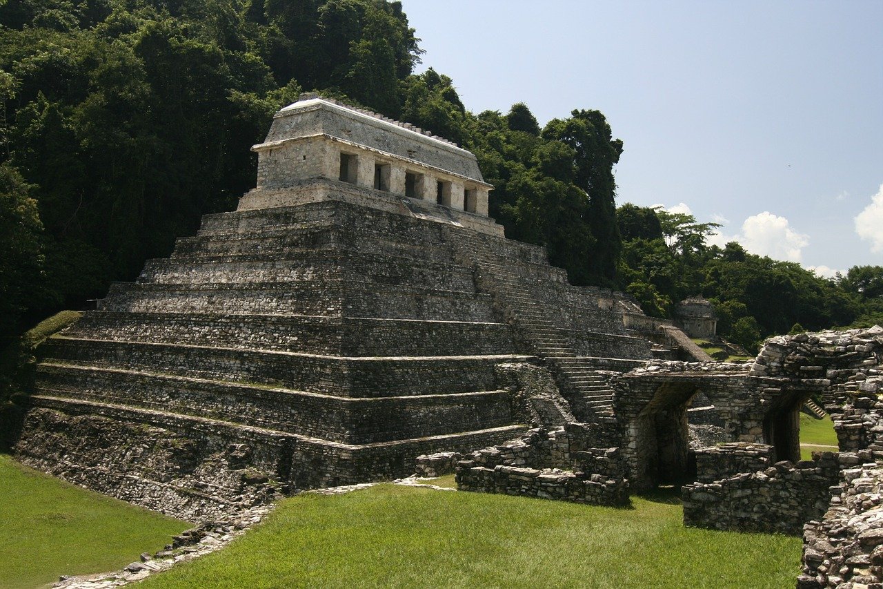
Palenque Archaeological Zone
Chiapas, Mexico
History & Culture
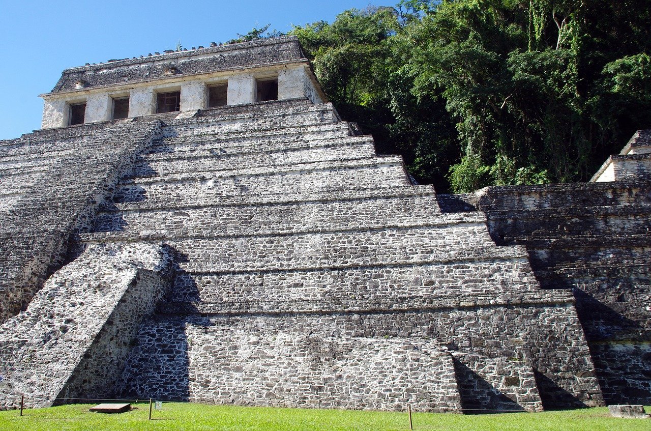
Palenque was together with Tikal and Calakmul one of the most powerful cities of the Classic Maya, the seat of one of the most notable dynasties to which Pakal belongs, whose tomb was discovered in 1952 by the archaeologist Alberto Ruz L’Huillier. Like all the Mayan cities of the Classic Palenque, it was related to others through commercial exchange networks or alliances between groups of rulers.
The territory was organized from the existence of city-states, whose centers have been identified by the presence of the so-called emblem glyph, but the basis of this organization: exchange, alliances, and of course war, supposes constant mobility of it. But the hieroglyphic inscriptions not only offer the identification of the site, but they also give an account of the marital and political alliances and the war situations between cities.
Mayan inscriptions have been widely studied for being one of the first manifestations of writing in Mesoamerica with a logosyllabic alphabet, and for their calendrical systems: one cyclical, as in other parts of Mesoamerica, and another linear, called the long count. Chronology: 500 to 900 AD. C. Main chronological location: Classic, 400 to 900 AD. C.
Access:
From the city of Tuxtla Gutierrez, it is necessary to take Federal Highway No. 190, towards Ocosingo and later Federal Highway No. 199, to the town of Palenque. From this last point, a path starts that after seven kilometers lead to the archaeological zone. From Villahermosa, Tabasco, take Federal Highway No. 186, Escarcega-Campeche. At kilometer 114, take the deviation that leads to the town of Palenque, where you travel 38 km on an asphalt road. The visitor can arrive at the site by means of public transport, however, they must walk to the entrance of the site.


